


Two training loops to explore the heart of the Jôf Trail and the Ultra Jôf
The GPS race routes will be available shortly. In the meantime, we’d like to introduce two spectacular loops that are ideal for training on the key sections of the 27km and 48km races, with a few tweaks designed to make the experience safer, more logical and more enjoyable.
More linear routes, better-distributed water, higher quality
The Alpe Adria Ultra Trail, Ultra Jôf and Jôf Trail races are well worth the effort, not only for the beauty of the journey, but also because they take you through areas that are difficult to reach and explore on your own.
The initial plan included a longer loop in the final section, with a refreshment stop at Rifugio Grego. This will not be included as the refuge is about a kilometre from the finish and would have made little logistical sense.
The detour to Plan dei Spadovai has also been eliminated, which would have required leaving the race route, making a sort of “loop,” and rejoining, lengthening the course and creating possible unnecessary confusion.
We decided not to use the path with the footbridge seen online, because that area, especially after winter, is particularly unstable and has significant vegetation. The higher variant, however, allows us to reach the Malga San Leopoldo spring, a spring historically linked to the alpine pasture.
- Better track quality and fewer unnecessarily convoluted sections.
- Steps more consistent with the logic of the race.
- Water points placed where they're really needed.
- Greater attention to safety in hot weather.
Schenone Mount Ring – Lipnik
An alpine, scenic, and very strenuous tour: Malga Poccet, Forcella del Clap Jovel, Monte Schenone, Sella Bieliga and Malga San Leopoldo.
The first loop starts and finishes at Malga Poccet, at an altitude of 1367 metres. It is reached by an old, narrow military road, in some sections without a guardrail: for this reason, it is recommended to tackle it only if you are accustomed to driving in the mountains and, ideally, with a car that is not too large.
Once parked at Malga Poccet, you start to gradually climb towards the Forcella del Clap Jovel, at an altitude of 1817 metres. These are the first 500 metres of positive altitude gain, on a dirt road and a very easy path.
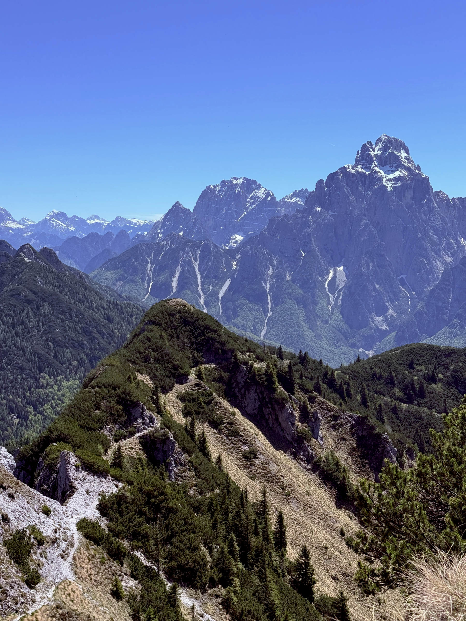
Upon reaching the fork, around km 2.8, you enter a section that corresponds, in the opposite direction, to part of the race route towards Monte Schenone. The loop does not include climbing to the summit, but we strongly recommend adding it: it involves approximately 100 metres of extra elevation gain, up to an altitude of 1949 metres, rewarded by a splendid view of the Montasio group, Monte Manca, Jôf di Dogna, and the Julian Alps.
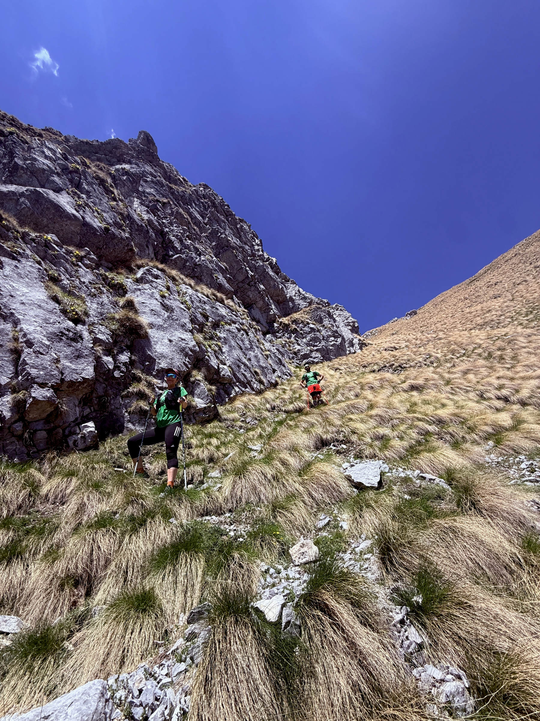
From the top, you retrace your steps along the same short stretch, before descending into a very steep grassy gully, which will actually be tackled uphill during the race. You then arrive at a fork leading to a war tunnel, not included in the race route, and continue along a traverse lower than the one taken on the way out: a stretch across wide meadows, very scenic and truly evocative.
Towards the end of the amphitheatre between Clap Jovel and Monte Schenone, you enter an area of mountain pines. The path is passable, although in some places the vegetation is encroaching and a clean-up of the trail would be useful, which will probably be carried out in view of future editions. It is not, however, an impassable stretch: you just need to be careful of the branches.
In this area, there is a lower path leading towards Chiout, but it will not be used in the race as it presents some critical issues further on. Instead, you must continue on level ground and then slightly uphill, following the track, until you reach a path that would take you back to Forcella del Clap Jovel.
At this point, you need to watch out for the turn-off to the right, which leads down through meadows and woodland. It is not a dangerous section, but it is not always obvious: the descent is quite steep, almost vertical, down to Sella Bieliga. Here, trail GPS is essential.
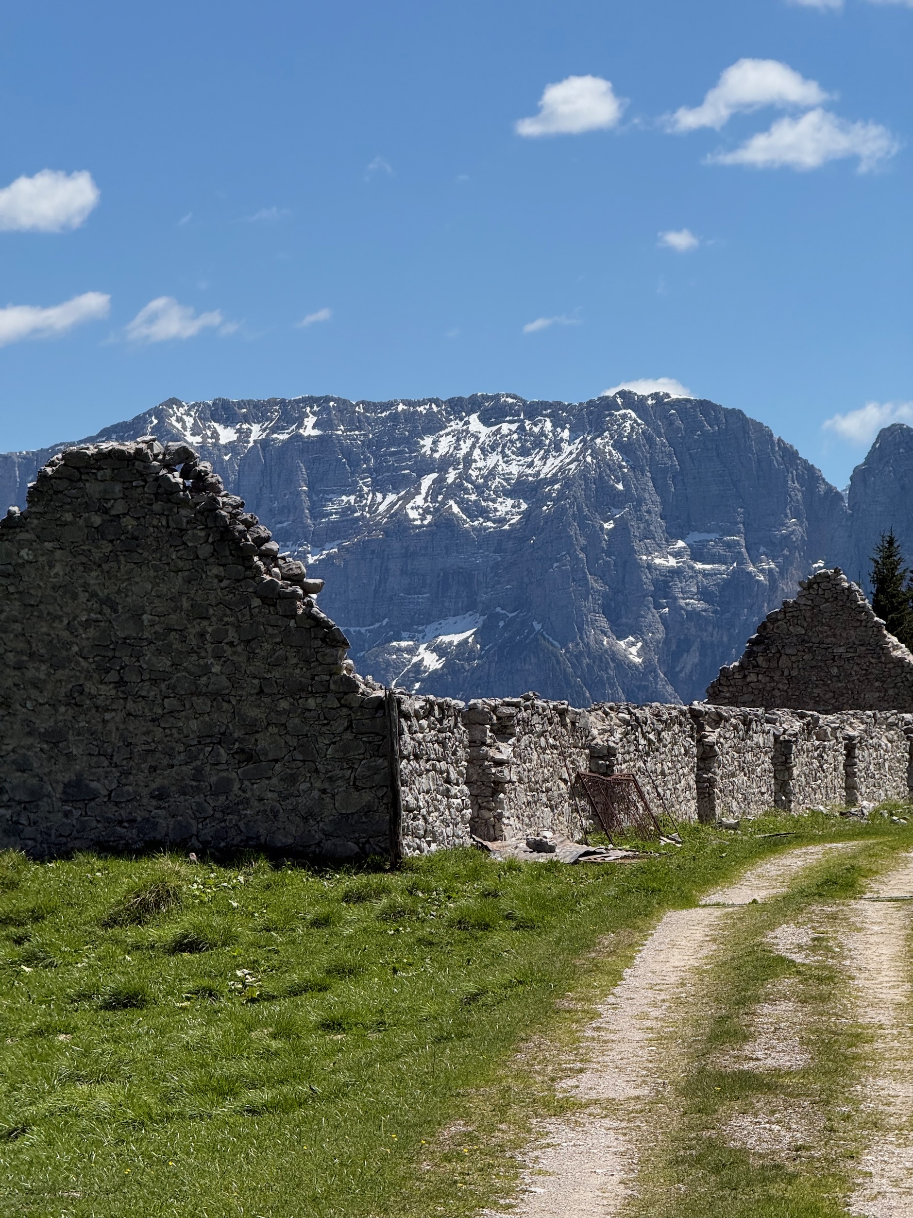
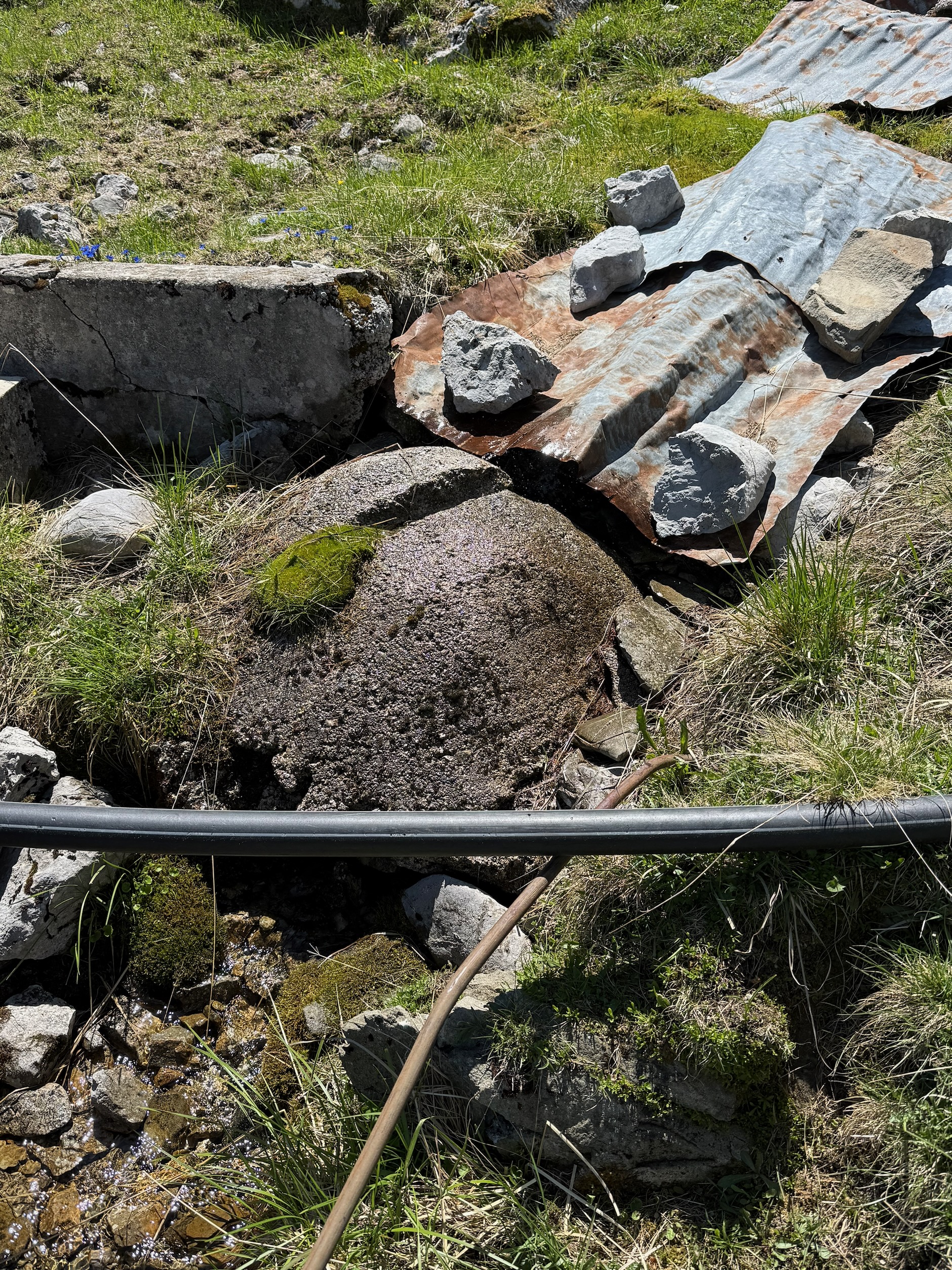
From the Bieliga Saddle, a beautiful unpaved forest road is taken, in the opposite direction to the race, until Malga San Leopoldo is reached. Here there is a closed fountain covered with sheet metal, but a little further up there is a usable spring: we tested it directly and it will be an important point for water supply during the race as well.
You then continue along the dirt road until you return to Malga Poccet.
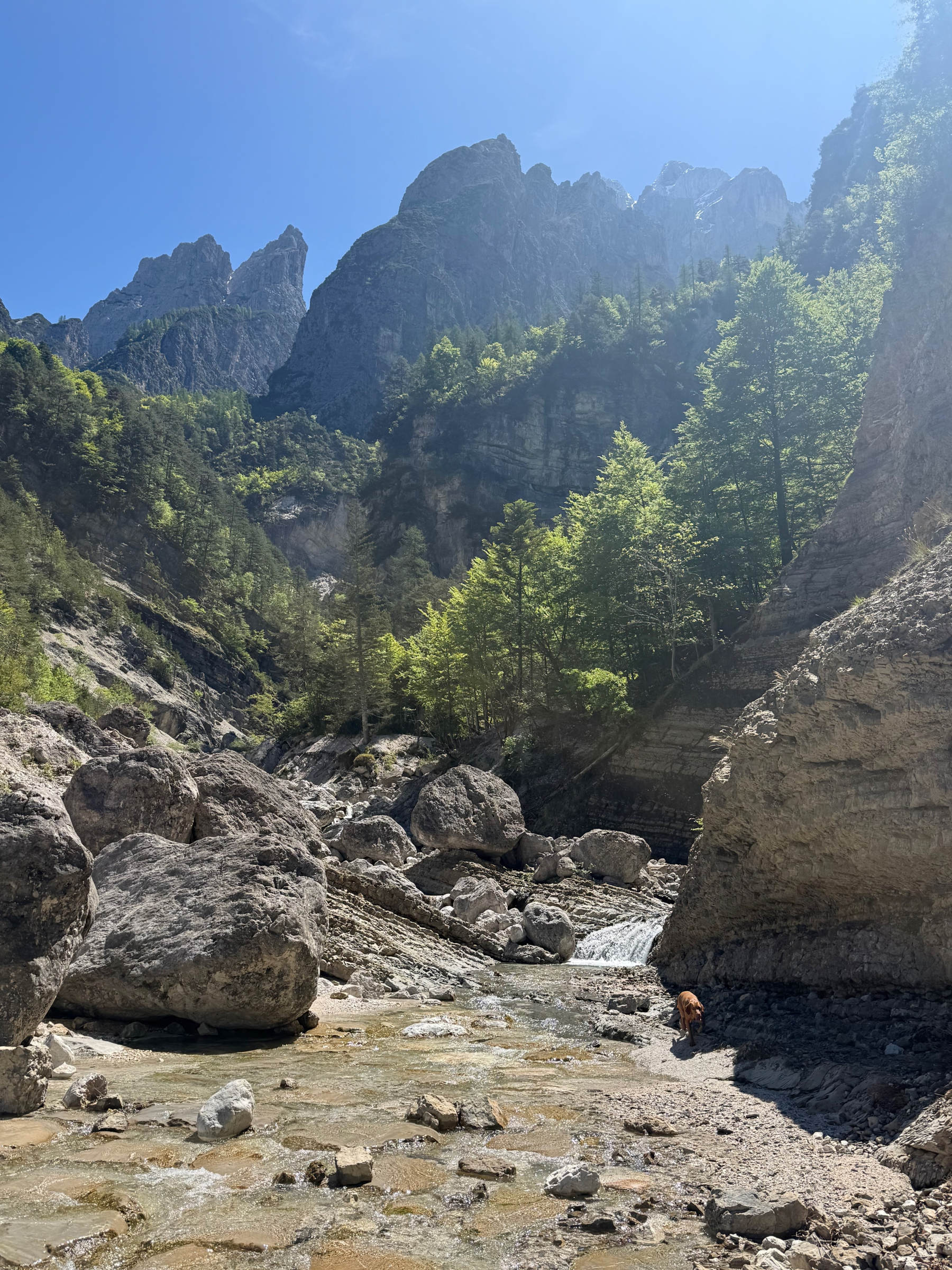
Photos from the route
Some sections of the Monte Schenone – Lipnik ring and the water points connected to the new competition logic.
Water management on the race track
Chou-en Lai
First water point almost immediately after starting. Drink, refill your water bottles and set off again with caution: the next section will be very challenging.
Malga San Leopoldo Spring
From Chiout Pupin to Malga San Leopoldo, it's approximately 9 km with a further 1600 metres of positive elevation gain. It is recommended to tackle this section with at least 1.5–2 litres of water.
Choultry
After Malga San Leopoldo, the route descends towards Chiout, where there will be a proper refreshment stop, after about 7.5 km of fast downhill on a road.
Montasio cheese
From Chiout you descend and then climb back up towards Rio Montasio, intercepting the upper part of the watercourse, a few hundred metres below the springs.
The springs are located in an alpine environment and in areas where there is currently no active grazing, so they present a good level of safety. Those who do not feel safe can bring purification tablets or specific water purification products, to be used according to the manufacturer's instructions.
It's a wonderful trail: it allows you to sample about 1.5 km of the most aerial section of the race, offers spectacular views of the Jôf of Dogna, and represents excellent technical and physical training.
Mincigos Ring
A tough climb from Dogna towards Chiout Pupin and Forcella Mincigos, followed by a spectacular descent through the woods and a passage through the hamlet of Mincigos.
The second training ring is very beautiful, unique, and decidedly more challenging than it might seem on paper.
At first glance, it might seem like a simple walk, taking an hour and a half or two hours. In reality, it's not like that: it's a route that can take even three or four hours, especially if taken at a relaxed pace, if you don't know the area well, or if you proceed with caution on the less obvious sections.
The route starts in Dogna and immediately takes you up the climb towards Chiout Pupin. From here, you follow the first major section of the Jôf Trail / Ultra Jôf, all the way to Forcella Mincigos.
During the race, two ropes will be placed, approximately at km 3 and km 4. We have already left some provisional ropes in place at points where they are not essential, but where an additional handhold can provide greater safety.
These are not particularly exposed or dangerous passages, but they are still paths that have suffered minor collapses or landslides in some places. It therefore remains a challenging training loop, to be approached with caution.
The climb is very intense: in about 4 km, you gain 1132 metres of elevation.
Once you reach Forcella Mincigos, leave the race route and start descending to the left, entering the woods. The first section of the descent is poorly marked, so it is essential to follow trail GPS carefully.
The descent takes you through a wonderful beech forest and offers one of the most beautiful sections of the loop: about 2 km of runnable downhill path, easy, very pleasant and surprisingly smooth. It's a somewhat neglected trail, but still very walkable, truly beautiful to rediscover and run.
Continuing downhill, you reach Mincigos, an isolated and very picturesque village, with old cable cars and abandoned or renovated houses at the foot of Clap Forat.
From here begins a stretch of about 1 km along a less well-defined path. Here too, it is important to follow the GPS route very carefully, as there is a junction between the woodland and the dirt track where it is easy to lose sight of the correct path.
Continue to Prerit di Sopra. From here you have two options: cycle along the cycle path for approximately 1.5 km, paying attention, or descend directly onto the lower road, which runs along the Fella. This second option follows a quiet, dead-end road, allowing for a relaxed return.
- A direct and very intense climb from Dogna towards Forcella Mincigos.
- Trails connected to CAI path 602 and the Clap Forat area.
- Descent into beech wood, fast-flowing and spectacular.
- Passage through the village of Mincigos and return towards Prerit di Sopra.
An intense and very varied ride: a tough, straightforward climb, a spectacular woodland descent, isolated villages, and less-travelled sections that make for an authentic and evocative experience.
Practical tips before you leave
These circular routes are stunning, but they should not be underestimated: they are alpine trails, featuring steep sections, obscure passages and stretches where a GPS trail marker is essential.
- Download the GPS track and make sure you have it available offline.
- Start with enough water, especially on the stretches between Chiout Pupin and Malga San Leopoldo.
- Bring suitable equipment for the alpine environment and altitude.
- Do not attempt these routes in uncertain weather or poor visibility.
- Please be aware of steep grassy slopes, dwarf mountain pines and less marked paths.
- If you are not accustomed to drinking from springs or streams, bring water purification products.
We invite you to try the routes, to send us photos, to tag us and to share your opinions with us. These trails and places are wonderful and deserve to be rediscovered, experienced and shared.
Stop by Malga Poccet: the food is excellent, with superb frico, gnocchi with salted ricotta and homemade cakes. It's a tangible way to support those who live and bring our mountains to life.
Try the rings, tell us about your experience
The official GPS race routes will be available shortly. In the meantime, these two routes are a great way to get to know Val Dogna, practise on the key sections and start getting into the spirit of the Jôf Trail and the Ultra Jôf.